Bandelier National Monument Visitor Center
Closed now
Bandelier National Monument Visitor Center
15 Entrance Rd, Los Alamos, NM 87544, USAOverview
Walk through the Visitor Center doors and you step into the story of the Ancestral Puebloans who carved homes into the soft volcanic tuff cliffs here seven centuries ago. The building itself sits at the entrance to Bandelier National Monument, a 33,000-acre preserve of canyon lands, cliff dwellings, and petroglyphs straddling the border between the Pajarito Plateau and the Jemez Mountains. This is where most visitors start, and for good reason: the Visitor Center holds the orientation, context, and practical details you need to understand what you're about to see in the backcountry.
The Monument preserves one of the most significant concentrations of pre-Columbian Ancestral Puebloan sites in the Southwest. Bandelier was established in 1916, named after Adolf Bandelier, an archaeologist and author who documented the ruins in the 1880s. The Visitor Center itself is a modest structure, but it functions as the essential gateway to exploring cliff dwellings, petroglyphs, and the canyon landscape beyond.
Why this place matters
Bandelier holds archaeological significance that extends beyond curiosity about old buildings. The sites here, occupied primarily between 1150 and 1600 CE, tell the story of how Ancestral Puebloans adapted to and shaped this particular landscape. The cliff dwellings demonstrate sophisticated understanding of construction, water management, and the seasonal rhythms of the high desert. The petroglyphs carved into the rock faces offer a glimpse into the cultural and spiritual life of people who lived here.
For visitors to the area, the Visitor Center provides the interpretive foundation that makes walking through the ruins something more than looking at old rocks. Without context, the carved kivas and blackened ceiling stains remain just holes in a cliff. With context, they become evidence of community, ritual, and survival.
Quick facts
- Monument established in 1916
- Total monument area covers 33,000 acres
- Ancestral Puebloan occupation from approximately 1150 to 1600 CE
- Visitor Center open year-round (hours vary seasonally)
- Monument entrance fee applies; Visitor Center is included with monument admission
- Located 10 miles south of Los Alamos, New Mexico
Getting there
From Los Alamos, the Visitor Center is roughly 15 minutes south on New Mexico State Road 501. The road winds through the Pajarito Plateau with views of the Sangre de Cristo mountains to the east. Parking at the Visitor Center is free and typically has space, though on peak summer weekends it can fill by mid-morning.
If you're coming from Santa Fe (about 40 miles away), head north on US 285 toward Pojoaque, then take State Road 502 northwest toward Los Alamos, then south on 501. The drive takes roughly 75 minutes depending on traffic and exact starting point.
There is no public transportation to Bandelier, so a car is essential.
The layout and experience
The Visitor Center is a single-story building designed to funnel visitors through exhibits, restrooms, and information before they head into the monument proper. Walking in, you'll find a small bookstore operated by the nonprofit Bandelier Association, staffed volunteers and rangers at an information desk, and a theater showing orientation films.
The main exhibit space covers the natural and cultural history of the area. Displays explain the geological forces that created the volcanic cliffs, the plant and animal communities that thrive here, and the timeline of human occupation. You'll see pottery shards, tools, and photographs of archaeological excavations. The exhibits tend to be straightforward without being dense, accessible to both children and adults looking for deeper context.
Most visitors spend 15 to 30 minutes here before heading out onto the trails. Some people move through in ten minutes. Others linger for an hour if they're reading all the labels and watching the films. There's no pressure either way.
Main highlights
The Visitor Center itself is not a destination in the way a museum is. It's a staging point. That said, several elements warrant attention.
The orientation film provides a solid overview of the monument's geography and history. It runs roughly 20 minutes and includes footage of the canyon landscape and cliff dwellings. Watching it before heading out onto the Main Loop Trail (the most visited hiking route in the monument) will significantly deepen what you see.
The bookstore stocks detailed guidebooks, maps, and field guides to plants and wildlife of the region. If you're planning to spend several hours on the trails, picking up a trail map here is worthwhile, though basic maps are also available free at the entrance.
Rangers stationed at the information desk can answer questions about current trail conditions, water sources, and which sites are accessible depending on your mobility level. They also have knowledge about seasonal closures and can suggest itineraries based on how much time you have and what interests you most.
History and background
Bandelier was named for Adolf Bandelier, a Swiss-American archaeologist and ethnologist who visited the area in the 1880s and documented the ruins in his journals and early scholarly work. His book "The Delight Makers," published in 1890, fictionalized the lives of the Ancestral Puebloans in ways that captured public imagination and helped bring attention to the sites.
The monument was created by presidential proclamation in 1916 under President Woodrow Wilson. The initial protected area was much smaller than today's 33,000 acres; subsequent expansions have added lands to preserve more of the archaeological sites and the canyon ecosystem.
The cliff dwellings visible today were built and inhabited primarily during the Pueblo III and Pueblo IV periods, spanning roughly 1150 to 1600 CE. The people who lived here were ancestors of the Pueblo peoples who inhabit the region today, particularly communities like Santa Clara Pueblo, Cochiti Pueblo, and San Ildefonso Pueblo. These communities maintain cultural connections to the land and the ancestors who lived here.
Tickets and entry
Entry to Bandelier National Monument requires a per-vehicle fee. The Visitor Center is included with monument admission; you do not pay separately to enter the Visitor Center building itself. Entrance stations at the monument gate collect the fee before you reach the Visitor Center.
Annual passes for national monuments are available and may be worthwhile if you plan to visit multiple times or explore other monuments in the region. Senior discounts and passes for disabled visitors are offered.
The monument sometimes implements timed entry reservations during peak season, typically May through October. If you're planning a visit during summer months, check ahead for whether reservations are required.
Best time to visit
Bandelier is open year-round, but the experience shifts dramatically with season. Spring (April through May) and fall (September through October) tend to offer the most comfortable hiking conditions: moderate temperatures, lower crowds than summer, and clear visibility. The light in fall is particularly fine, with the canyon walls turning deeper shades of red and orange in the afternoon sun.
Summer (June through August) brings afternoon thunderstorms that can develop quickly in the mountains. The canyon can flash flood, and trails are occasionally closed as a result. Early mornings are coolest; by mid-afternoon, the exposed sections of trail become very hot.
Winter (November through March) sees fewer visitors and can offer solitude on the trails. Elevation at the Visitor Center is roughly 6,000 feet, so snow is possible but not guaranteed. When it does snow, the landscape transforms and the canyon takes on a stark, quiet beauty. However, some trails may be icy or muddy.
July and August are the busiest months. If you prefer fewer crowds, plan for any other time of year.
Photography tips
The canyon walls facing south and west catch warm light in late afternoon, roughly 3 to 5 PM depending on the season. This is when the volcanic tuff glows and the shadows in the cliff dwellings create dramatic contrast. Morning light coming into the canyon from the east tends to be cooler and more diffuse.
The Main Loop Trail offers multiple viewpoints of the cliff dwellings. The closest approach is to the kivas and dwelling sites themselves, where you can photograph the carved handholds and the blackened ceilings. Be respectful of the sites; do not touch the walls or enter dwellings unless a sign explicitly allows it.
Petroglyphs are more challenging to photograph in bright daylight because the carved lines can wash out. Early morning or late afternoon, when the light is more oblique, tends to reveal the incisions more clearly.
Facilities and preparation
The Visitor Center has restrooms and a water fountain. Beyond the Visitor Center, facilities are minimal. There is no food service inside the monument, so bring water and snacks if you plan to spend several hours hiking.
The Monument has a picnic area near the Visitor Center with tables and grills. If you want to eat before or after exploring, Los Alamos is 15 minutes north and has restaurants and a grocery store.
The Main Loop Trail descends roughly 400 feet into Frijoles Canyon and back out. It's rated as moderate difficulty and takes most people 1.5 to 2 hours to complete. Wear sturdy hiking boots with good traction; the volcanic rock is sharp and the trail can be steep in sections. Bring at least two liters of water per person, especially in warm months.
Sun protection (sunscreen, a hat, sunglasses) is essential even on partly cloudy days; the high elevation and reflective rock intensify UV exposure.
How it compares to similar places
Bandelier is one of several significant Ancestral Puebloan sites in northern New Mexico. Mesa Verde National Park in Colorado, roughly 90 miles northwest, preserves cliff dwellings in a more dramatic setting with larger structures, but it's also more crowded and requires longer hikes to reach the best sites. Bandelier's Main Loop Trail is more accessible and the sites feel less manicured.
Puye Cliff Dwellings, operated by Santa Clara Pueblo roughly 20 miles north, offers a more intimate experience with fewer visitors. However, Bandelier's Visitor Center provides better context and interpretation, and the monument encompasses a larger area with more varied trails.
Canyon de Chelly in Arizona, several hours southwest, preserves a broader cultural landscape but requires a Navajo guide to access most sites. Bandelier allows independent exploration with clear trail markers.
Combining with nearby attractions
Los Alamos itself, 10 miles north, has the Bradbury Science Museum, which documents the history of the Los Alamos National Laboratory. It's a different kind of history than Bandelier, but worth a few hours if you're interested in 20th-century science and nuclear physics.
The town of Española, roughly 20 miles south, is the hub of northern New Mexico's art and pottery community. Several galleries and studios are open to the public, and the town has a weekly farmers market (Saturdays) during the growing season.
San Ildefonso Pueblo, 15 miles south of Bandelier, has a small museum and welcomes visitors to see the pueblo's plaza and purchase pottery directly from artisans. Many of the potters here are descendants of the people who lived at Bandelier centuries ago.
Valles Caldera National Preserve, roughly 30 miles west, protects a large volcanic caldera with hiking trails and scenic drives. It's a full-day outing if combined with Bandelier, but geologically fascinating.
Sample visit plan
A half-day visit: Arrive at the Visitor Center by mid-morning. Spend 20 to 30 minutes inside watching the orientation film and reviewing the exhibits. Pick up a trail map and ask a ranger about current conditions. Head out onto the Main Loop Trail, allowing 2 hours to walk the loop and spend time at the cliff dwellings. Return to the Visitor Center by mid-afternoon.
A full-day visit: Start as above, but after completing the Main Loop Trail, have lunch at the picnic area. In the afternoon, explore a longer trail such as the Alamo Canyon Trail or the Upper Falls Trail if water levels permit. These offer deeper exploration with fewer crowds than the main loop. Depart before sunset.
A two-site day: Combine Bandelier with San Ildefonso Pueblo. Spend the morning at Bandelier (Visitor Center and Main Loop Trail). Drive south to San Ildefonso in the early afternoon, tour the pueblo museum, and browse pottery studios. This works well if you're interested in both archaeology and contemporary Pueblo culture.
Practical tips
- Arrive early if you're visiting in summer; parking fills by 10 AM on peak days
- Bring more water than you think you'll need; there are no refill stations on the trails
- Check the National Park Service website before visiting to see if timed entry is required or if trails are closed due to weather or maintenance
- The monument sits at high elevation; if you're coming from lower elevations, spend a few hours acclimating before strenuous hiking
- Cell service is unreliable in the canyon; tell someone where you're going and when you expect to return
- Respect closures and barriers; some areas are off-limits to protect archaeological resources
- The bookstore accepts cash and cards; ATM availability is limited in the monument area
- Download a offline map of the trails on your phone before you arrive, in case you lose signal
FAQ
How long should I spend at the Visitor Center itself? Most visitors spend 15 to 30 minutes inside the building. If you watch the orientation film, allow an extra 20 minutes. The exhibits are not extensive, but they're well-designed and provide essential context.
Can you see the cliff dwellings from the Visitor Center? No. The Visitor Center sits near the monument entrance; the cliff dwellings are in Frijoles Canyon, accessed by hiking the Main Loop Trail. The hike down to the canyon takes about 30 minutes from the trailhead.
Is the Main Loop Trail suitable for children? It depends on the child's fitness and experience. The trail is well-maintained and clearly marked, but it involves a descent of roughly 400 feet and a steep return hike. Children ages 5 and up, with some hiking experience, typically manage it. Bring plenty of water and take breaks as needed. Strollers and wheeled devices are not permitted on the trail.
What is there to do at Bandelier besides the Main Loop Trail? The monument has several other trails ranging from short nature walks to longer backcountry routes. The Upper Falls Trail (seasonal, depending on water levels), Alamo Canyon Trail, and others offer different perspectives on the canyon ecosystem and additional archaeological sites. Ask rangers at the Visitor Center which trails are open and suitable for your abilities.
Can you visit the Visitor Center without paying the monument entrance fee? No. Entry to the monument, including the Visitor Center, requires the per-vehicle fee. There is no separate building fee.
Opening hours
Reviews
Sign in and mark this place visited to leave a review.
No reviews yet.
Free Trip Planner
Plan your Los Alamos trip with our free planner
Build a day-by-day itinerary with AI suggestions, hand-picked places, and friends. Free forever — no credit card.
Related reading

Things to see near Bandelier National Monument Visitor Center
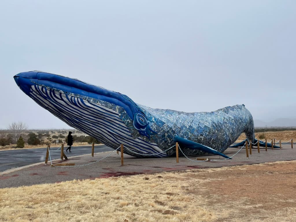
Ethyl the Whale
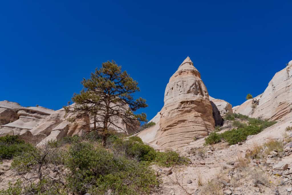
Kasha-Katuwe Tent Rocks National Monument

Meow Wolf Santa Fe