
Arches National Park
Arches National Park, Utah, USA Posted by Scottyboy901
Overview
Arches National Park sits just outside Moab, Utah, and contains over 2,000 natural stone arches alongside towering fins and balanced rocks that seem to defy gravity. The park sprawls across 76,519 acres of red rock country in the Colorado River basin, where water and wind have carved distinctive formations from Entrada Sandstone over millions of years. If you've seen iconic images of Utah's desert landscape, chances are an arch from this park was in the frame.
The main park road stretches 26 miles from the entrance station to Devils Garden, passing dozens of pullouts and trailheads along the way. Most visitors spend between four hours and a full day exploring, depending on how many trails they hike and how long they linger at overlooks.
Why this place matters
Arches is one of the most geologically distinctive parks in the United States. The arches here form differently than most natural arches elsewhere in the world. Here, water percolates through vertical cracks in the sandstone, freezing and thawing to widen the gaps until entire sections of rock collapse, leaving behind the graceful spans you see today.
The park has become a pilgrimage site for photographers, hikers, and geology enthusiasts. Delicate Arch, the largest natural arch in the park and the most photographed, appears on Utah license plates and in countless travel magazines. But beyond the famous formations, Arches offers solitude and raw desert beauty if you venture onto less-trafficked trails or visit during quieter months.
Quick facts
- Established as a national monument in 1929, designated a national park in 1971
- Contains 2,052 natural stone arches (as of the most recent official count)
- Located 5 miles north of Moab, Utah
- Park elevation ranges from 3,960 feet to 5,653 feet
- General admission is inexpensive, with options for a seven-day pass or annual pass
- No lodging or camping inside the park boundaries
- Peak visitation occurs in spring and fall
Getting there
If you're coming by car, take US-191 north from Moab. The entrance station appears on your right after about 5 miles. The drive from downtown Moab takes roughly 10 to 15 minutes depending on traffic and where you start.
From Salt Lake City, the drive is approximately 240 miles south and takes around four hours. From Denver, expect a six-hour drive southwest. Most visitors arrive by car since public transportation to the park is limited.
Once inside the entrance, the park road is a single paved route with numerous pullouts and parking areas. If you arrive during peak season, parking at popular trailheads can fill by mid-morning, particularly at Delicate Arch and Devils Garden. Arriving before 8 am or after 4 pm tends to offer better parking availability on busy days.
The layout and experience
The park road climbs steadily from the entrance station, offering increasingly expansive views of the surrounding landscape. You'll pass through different zones where the geology and vegetation shift subtly. The lower sections near the entrance feature denser pinyon and juniper forests, while higher elevations open into more sparse desert.
Major pullouts and trailheads appear at regular intervals. The road ends at Devils Garden, where a longer trail system allows you to explore multiple arches without returning to your car. Between the entrance and Devils Garden, you'll find short walks, moderate hikes, and viewpoints suited to different fitness levels and time constraints.
Most of the park's arches cluster in the central and northern sections. The southern portion contains fewer arches but includes other notable formations like balanced rocks and fins that are worth exploring if you have time.
Main highlights
Delicate Arch dominates the visitor imagination, and rightfully so. The three-mile round-trip hike gains about 480 feet of elevation and takes most people between 60 and 90 minutes. The trail is entirely exposed with minimal shade, so it's best done in early morning or late afternoon, especially in summer when temperatures soar. The payoff is standing directly beneath one of the world's most recognizable natural structures.
The Windows Section offers shorter, easier trails with excellent rock formations. The Arches Trail connects North Window, South Window, and Turret Arch in a one-mile loop that suits families and those with limited time. You can complete this walk in 30 to 45 minutes and see multiple arches without strenuous effort.
Devils Garden holds the park's highest concentration of arches along a single trail system. The main trail extends 7.2 miles round-trip if you hike the full length, but you can turn back at any of several arch viewpoints along the way. Landscape Arch, one of the longest natural arches in North America, appears about 1.6 miles in. The trail continues beyond this point through terrain that grows progressively more rugged and scenic.
Balanced Rock stands as a massive boulder perched atop a narrow pedestal near the park's southern entrance. A short 0.3-mile loop encircles the formation, offering perspectives from different angles. It's a quick stop that requires only 15 minutes but produces memorable photographs.
Double Arch allows you to walk beneath two large arches that share a common base. The trail is less than one mile round-trip and offers intimate views of the rock formations without the crowds that gather at Delicate Arch.
History and background
The arches and fins visible today took shape over approximately 300 million years as sediments accumulated in an ancient sea. When the sea retreated, the Colorado River carved through the landscape, and differential erosion exposed the Entrada Sandstone layer that forms most of the distinctive formations. The vertical jointing in this sandstone layer directly influences where arches form and how they develop.
The Ute and Southern Paiute peoples inhabited this region for centuries before European exploration. Spanish missionaries and traders passed through in the 1700s, but permanent settlement in the Moab area didn't occur until the late 1800s when prospectors arrived seeking minerals.
Alexander Ringhoffer, a Swedish immigrant, first drew attention to the arches by photographing them and showing the images to local leaders. His work led to the establishment of the Monument in 1929 under President Herbert Hoover. The designation protected the landscape from development and mining. In 1971, President Richard Nixon elevated it to national park status, recognizing its significance and unique geological character.
Tickets and entry
The park operates a day-use permit system rather than a traditional gate. You can purchase a seven-day pass valid for one vehicle at the entrance station. Motorcycle passes and individual walk-in passes are available at lower price tiers. An annual America the Beautiful Pass provides access to all National Park Service sites across the country and is the best value for frequent visitors.
The entrance station operates year-round, though hours may vary seasonally. Payment is accepted in cash and card. If you arrive outside staffed hours, you can typically pay via an honor system envelope at the entrance.
There are no entrance fees for walking or biking into the park if you arrive on foot or bicycle, though this is impractical for most visitors given the distance from Moab.
Best time to visit
Spring (March through May) and fall (September through November) offer the most comfortable hiking conditions. Daytime temperatures range from the mid-60s to low 80s, and the light stays lower in the sky longer, creating dramatic shadows across the rock formations. These seasons also bring the most visitors, so expect crowded parking areas and longer waits at popular spots.
Winter (December through February) brings cold temperatures, and some trails may be icy in shaded areas. However, winter offers solitude and stunning photography light without the summer heat and crowds. If you enjoy hiking in cool weather, this is an ideal time to visit.
Summer (June through August) is extremely hot, with temperatures frequently exceeding 100 degrees. The intense sun creates harsh shadows for photography and makes exposed trails like Delicate Arch uncomfortable unless you hike very early or very late. Water becomes critical, and you'll need to carry extra supplies.
Visitation drops noticeably in late August and early September as summer heat persists but school starts, creating a brief window of relative quiet before fall tourism ramps up.
Photography tips
Delicate Arch photographs best during the hour before sunset when warm light bathes the formation and the sky retains color. Arriving at the trailhead by late afternoon ensures you reach the arch in good light. Bring a wide-angle lens to capture the full span of the arch with surrounding landscape context.
The Windows Section produces excellent photographs from multiple angles throughout the day. Early morning light rakes across the rock faces, emphasizing texture and depth. Shooting during the golden hour before sunset casts long shadows that add dimension to your images.
Devils Garden offers varied compositions depending on which formations you photograph. Landscape Arch requires stepping back from the trail to capture its full span. Bring a sturdy tripod if you plan to shoot during low-light conditions or use longer exposures.
Avoid the brightest hours of midday when harsh overhead sun flattens colors and creates blown-out highlights in the sky. Sunrise and sunset consistently produce the most compelling photographs, though you'll share these times with other photographers.
Facilities and preparation
There is one visitor center near the entrance where you can obtain trail maps, ask questions, and view exhibits about the park's geology and ecology. Water and restrooms are available at the visitor center and at Devils Garden, but nowhere else in the park. Bring at least two liters of water per person, especially if you plan to hike multiple trails or visit during warm months.
There are no food services, lodging, or gas stations within the park. Stock up on supplies in Moab before entering. The nearest restaurants and hotels are in Moab, ranging from budget to upscale options.
Cell service is unreliable throughout much of the park, so don't depend on your phone for navigation. Download offline maps or pick up a printed park map at the entrance.
Wear sturdy hiking boots with good ankle support, as many trails cross uneven rock. Apply sunscreen liberally and reapply frequently. Hats and sunglasses are essential. The sun at this elevation and latitude is intense, and reflection off the red rock amplifies exposure.
How it compares to similar places
Canyonlands National Park, located 30 miles south of Arches, offers a different landscape focused on deep canyons carved by the Colorado and Green Rivers. While Canyonlands provides expansive vistas and backcountry hiking, Arches emphasizes singular geological formations that are accessible via shorter walks. The two parks complement each other well if you're spending multiple days in the region.
Capitol Reef National Park, about two hours south, features colorful striped cliffs and the distinctive Waterpocket Fold geological formation. Capitol Reef involves more driving between viewpoints and fewer concentrated rock formations. Arches is more compact and easier to explore thoroughly in a single day.
Monument Valley, located on the Utah-Arizona border about three hours southeast, showcases massive buttes and spires rather than arches. Monument Valley requires more time to explore and involves driving through Navajo Nation land with specific rules and Navajo guides required for off-road areas.
Combining with nearby attractions
Moab itself is worth a day or two if you're interested in mountain biking, rafting, or additional hiking. The town has numerous restaurants, galleries, and outdoor outfitters. Arches and Canyonlands together can easily fill two to three days of exploration.
Dead Horse Point State Park sits about 30 miles southeast and offers dramatic canyon views and a shorter visitation experience. You can combine a morning at Arches with an afternoon at Dead Horse Point if you're efficient with your time.
The Colorado River near Moab offers rafting opportunities ranging from gentle scenic floats to more technical whitewater depending on the season and your skill level. Several outfitters in Moab arrange trips.
Sample visit plan
If you have four to five hours, start at the visitor center to orient yourself. Drive to Delicate Arch and hike it in the late afternoon when light is best and crowds thin. Return to your car and explore the Windows Section on the drive back to the entrance.
For a full day, arrive early and hike Delicate Arch first when the trailhead is less crowded. Take a lunch break at your car or in Moab. Return to the park and spend the afternoon on Devils Garden, hiking as far as your energy and time allow. Watch the sunset from a viewpoint along the main road.
If you have two days, dedicate the first to Arches as described above. Use your second day to explore Canyonlands, either the Island in the Sky district or the Needles district depending on your interests. Both are within 30 to 60 minutes of Moab.
Practical tips
- Arrive at the Delicate Arch trailhead before 7 am or after 4 pm to avoid crowds and secure parking
- Carry at least 2 to 3 liters of water per person, more in summer
- Wear sunscreen and reapply every two hours, even on cloudy days
- Download offline maps before entering the park since cell service is unreliable
- Start with shorter trails if you're unfamiliar with high elevation or desert hiking
- Watch for flash flood warnings if rain is in the forecast, particularly near slot canyons or wash crossings
- Stay on marked trails to protect the fragile desert vegetation and prevent erosion
- Bring a headlamp or flashlight if you plan to hike at sunrise or sunset
- Check the park website for any seasonal closures or trail maintenance before your visit
FAQ
How long does it take to see the main attractions? Most visitors spend four to six hours exploring the highlights, including the Delicate Arch hike. A full day allows you to explore multiple trail systems and spend time at viewpoints without rushing.
Can I bring my dog into the park? Dogs are allowed on the main park road and at certain parking areas, but they are not permitted on any of the hiking trails. If you bring a dog, you must keep it on a leash at all times.
Is there camping in Arches National Park? There is no camping within the park boundaries. The nearest campgrounds are in Moab, including commercial RV parks and the Bureau of Land Management sites nearby. Some visitors camp in Canyonlands National Park's Needles or Island in the Sky districts and day-trip to Arches.
What is the elevation, and will I experience altitude effects? The park ranges from about 3,960 feet to 5,653 feet. Most trails are at moderate elevations where altitude sickness is unlikely for healthy visitors, but you may notice slightly elevated heart rate during exertion. Drink plenty of water and take your time on the first day.
Can I drive the park road at night? Yes, the main park road is open during daylight hours only, but you can enter and exit during stated operating hours. Night sky viewing is excellent from the parking areas near the entrance, though the park does not have designated dark-sky viewing areas like some other parks do.
Opening hours
Reviews
Sign in and mark this place visited to leave a review.
No reviews yet.
Free Trip Planner
Plan your United States trip with our free planner
Build a day-by-day itinerary with AI suggestions, hand-picked places, and friends. Free forever — no credit card.
Related reading
Places to eat or drink near Arches National Park


More places in Utah
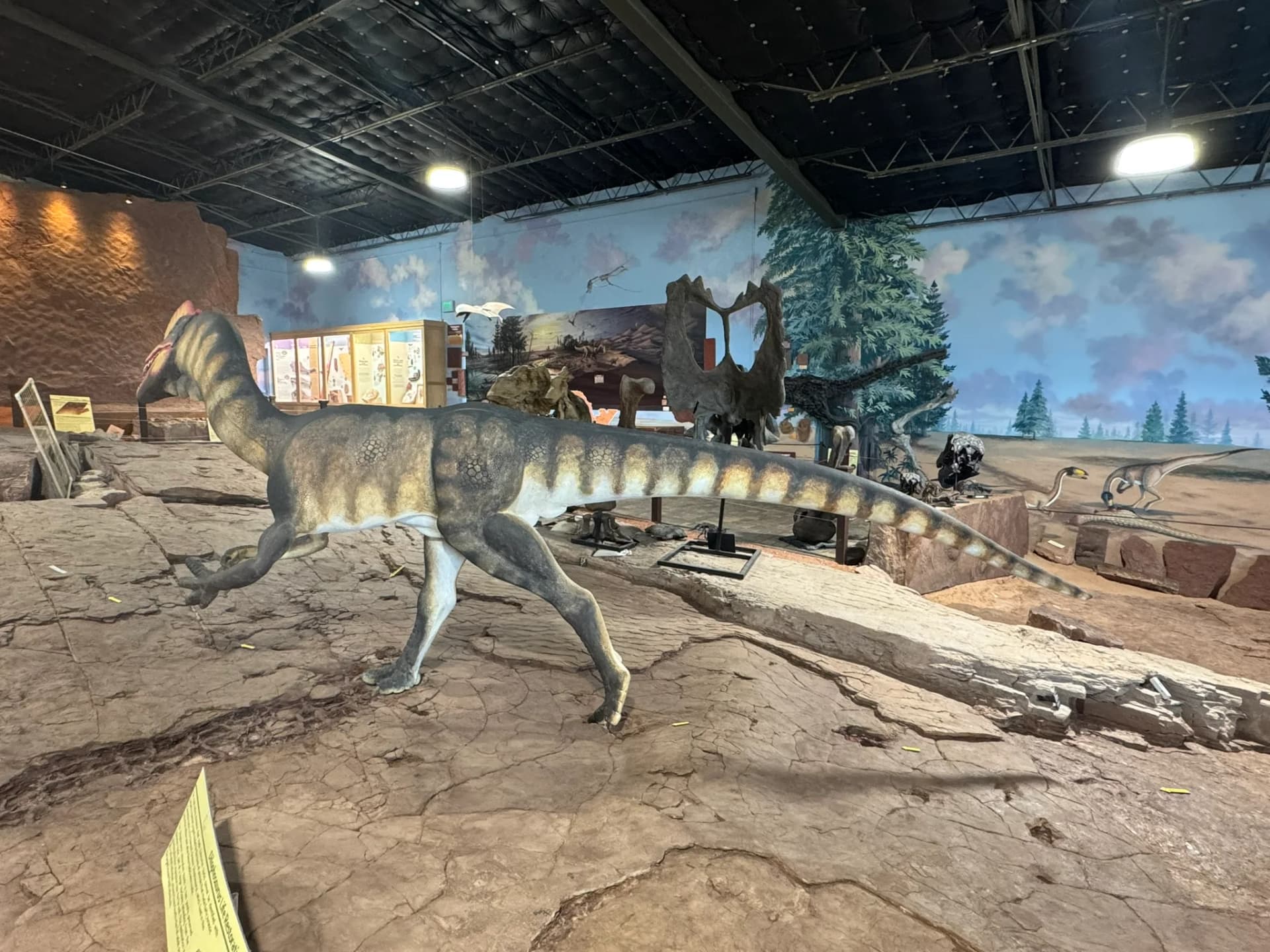
St. George Dinosaur Discovery Site at Johnson Farm
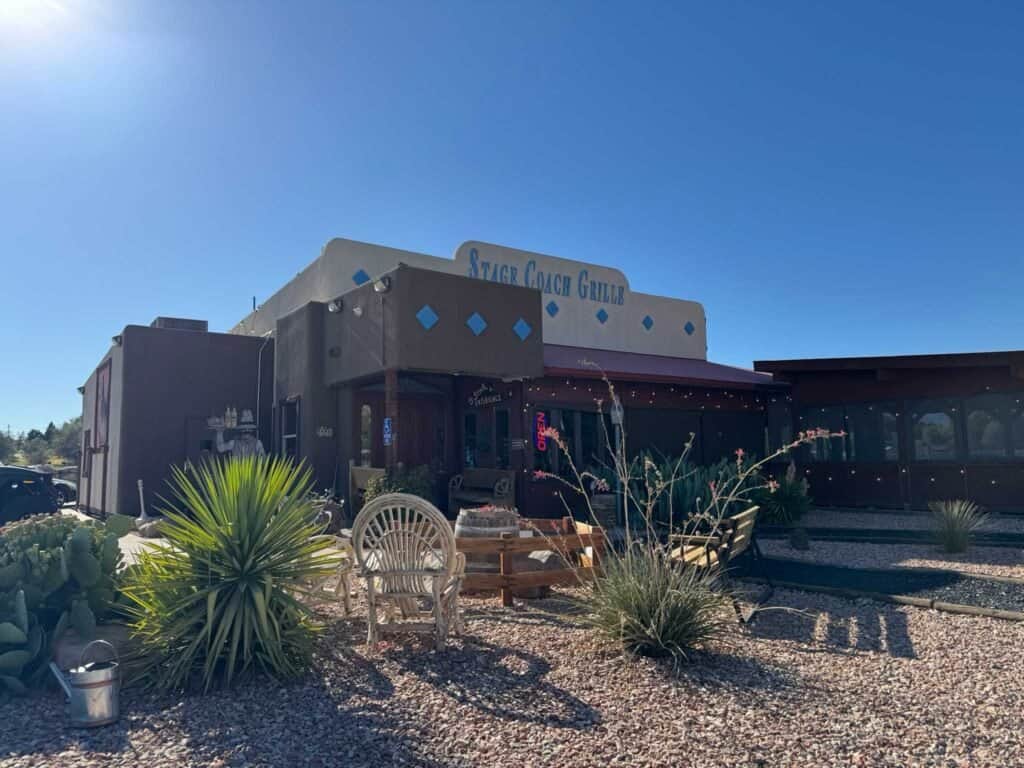
Stage Coach Grille

Doughbird
