Banff Legacy Trail
Vermilion Lakes Rd, Banff, AB T0L 1E0, CanadaThe Banff Legacy Trail is a 5.3-kilometer paved and gravel path that threads through Banff National Park, linking the Banff townsite to Vermilion Lakes without a single steep climb along the way. It was built for people who want genuine mountain scenery without the commitment of backcountry hiking, which makes it one of the more useful trails in the park for families, slower walkers, and anyone traveling with a wheelchair or stroller. You don't need a permit, a trail map, or much gear. You just need a few hours and a pair of shoes that can handle gravel.
What makes the Banff Legacy Trail worth a dedicated stop, rather than a quick stroll from your hotel, is the combination of flat, easy walking with landscape that doesn't feel watered down. You'll pass through open meadows where elk graze at dawn, follow the Bow River for long stretches, and end near a set of lakes known for a color that looks almost artificial until you see it yourself.
Why the Banff Legacy Trail matters
Most of Banff National Park's famous hikes demand a reasonable level of fitness and, often, a car ride to a trailhead well outside town. The Legacy Trail inverts that. It was built with accessibility as a design requirement, not an afterthought, meaning the surface, grades, and width were planned to accommodate wheelchairs and strollers from the start. That's a meaningful shift in how a protected wilderness area thinks about who gets to experience it.
It's also not a sanitized version of nature tacked onto the edge of town. The trail runs through real elk habitat, follows a working stretch of the Bow River, and passes directly by the site where Canada's national park system began. Interpretive signage along the route explains some of this, touching on the railroad's role in opening up the Rockies to tourism and the long relationship between the town of Banff and the wilderness around it.
Quick facts
- Distance: 5.3 kilometers one way, 10.6 kilometers round trip
- Elevation gain: minimal, under 100 meters total
- Surface: paved and compacted gravel, suitable for wheelchairs and strollers
- Typical duration: 45 minutes to 1.5 hours one way, depending on pace
- Season: open year-round, though winter brings snow and ice to the surface
- Cost: no separate entrance fee beyond standard Banff National Park admission
- Hours: open dawn to dusk
Getting there
Most people start near the Banff townsite, either from the Bow Bridge area or from the Cave and Basin Historic Site. If you're coming from the town center, head toward Spray Avenue and follow signage toward the trail entrance. Parking exists at both the Bow Bridge lot and near Cave and Basin, but both fill up regularly in summer, especially from mid-morning through early afternoon.
If the main lots are full, there's secondary parking nearby, though you may have to walk a few extra minutes to reach the trail itself. The western end of the trail meets Vermilion Lakes Road, where another parking area lets you start from that side instead. Some visitors deliberately park here and walk the trail in reverse, moving from the quieter, lake-adjacent end toward town. It changes the pacing of the walk and, depending on the time of day, the light.
The layout and experience of the Banff Legacy Trail
The trail starts in a fairly developed stretch near town and loosens into open landscape as you go. Early on, you'll cross meadows where elk and mule deer are a common sight, particularly around sunrise or dusk. The path itself is wide enough to walk two or three abreast, which matters on a trail that gets shared traffic from cyclists and families with strollers.
Further along, the Bow River comes into view and stays with you for a good portion of the route, with the surrounding peaks forming a steady backdrop. Because the surface is smooth and the grade barely changes, you can actually look around instead of watching your feet, which isn't something you can say about most trails in this park.
The western stretch, approaching Vermilion Lakes, tends to feel noticeably quieter. Fewer people push all the way out here, so the crowds from the townsite thin out. The trail doesn't actually reach the lakeshore, but it gets close enough that you can see the water's color through the trees before you arrive at the designated viewpoint.
Main highlights along the way
The Cave and Basin Historic Site sits directly on, or immediately beside, the trail depending on which direction you're walking. This is the spot where Canada's national park system effectively began in 1885, after hot springs discovered here drew the attention of settlers and eventually the federal government. There's a small museum and the actual cave entrance, which you can walk into. Even skipping the museum, the building and the grounds around it carry some weight once you know the history.
Bow Bridge is another natural pause point. On a still, clear day, the reflection of the surrounding peaks in the water below makes for one of the more photogenic, least effortful shots you'll get in Banff.
Wildlife is a genuine draw rather than a marketing line. The open meadows and forest edges along the route provide habitat for elk and mule deer, with occasional moose sightings reported by regular walkers. Birds are present through all four seasons. Early risers have noticeably better odds of seeing animals before they retreat into denser forest as the day warms up.
The walk's natural endpoint is the Vermilion Lakes viewpoint. The lakes' turquoise tint comes from fine glacial silt suspended in the water, a phenomenon common across several lakes in the Canadian Rockies. Late afternoon light tends to bring out the color most dramatically, with the surrounding peaks picking up a warm cast that's worth timing your visit around if photography matters to you.
History and background
Banff National Park was established in 1885, making it Canada's oldest national park. The land had served as a gathering place for Indigenous peoples for generations before European settlers arrived, and the hot springs at Cave and Basin became the catalyst for the park's creation once their commercial and recreational potential became clear to railway and government interests of the era.
The Legacy Trail itself is a much more recent piece of infrastructure, built specifically to stitch together a continuous, accessible route through some of the park's most historically and ecologically significant ground. It combines newly built sections with retrofitted older pathways, so the quality of the surface can shift slightly from one stretch to the next, though it remains walkable and rideable throughout.
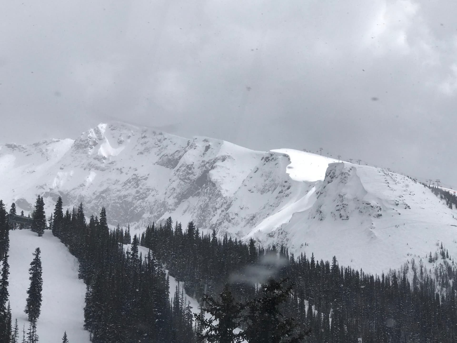
The mountains that frame the entire walk are part of the Rocky Mountain range, shaped over millions of years by tectonic uplift, glaciation, and erosion. Glaciers remain visible on some of the higher peaks around Banff, though they've retreated considerably over the past century, a change you can sense even without technical knowledge of glaciology just by comparing old photographs posted at some of the park's interpretive stops.
Best time to visit the Banff Legacy Trail
Summer, from June through September, offers the most reliable conditions and the fullest version of the experience. Wildflowers bloom through June and July, and wildlife stays active across the season, with early mornings giving you the best odds of a sighting.
Fall, running September into October, brings noticeably thinner crowds and a lower, warmer quality of light that photographers tend to prefer. Weather stays fairly stable in this window, though mountain thunderstorms can still build quickly in the afternoon.
Winter turns the trail into something else entirely. The paved sections remain walkable, and the stripped-down winter landscape has its own appeal, but snow and ice make footing unpredictable. Spring, from April through May, is the least settled season, with melting snow and emerging vegetation creating variable trail conditions from one week to the next.
Photography tips
Early morning light favors shots facing east, catching the sun as it hits the peaks. The Bow Bridge area gives you a reliable composition with water in the foreground and mountains behind, especially when the river is calm.
If you make it to Vermilion Lakes, shoot from the west side of the trail looking back toward the mountains, ideally after 4pm in summer when the light turns warm. Interestingly, the lakes' turquoise color often reads better on overcast days than in harsh direct sun, which flattens the contrast.
Wildlife photography here rewards patience more than gear. Move slowly, stay quiet, and plan around dawn or dusk when elk and deer are most active. A longer lens helps, but isn't strictly necessary given how close the meadows sit to the trail itself.
Facilities and preparation
Facilities along the trail are limited. Restrooms exist at the starting points near the Banff townsite and at Cave and Basin, but there's nothing at the midpoint or at the western terminus near Vermilion Lakes. Bring your own water, particularly in summer, since there are no sources along the route.
Standard walking shoes handle the paved and compacted gravel surface fine. Sun protection matters in the meadow sections, where shade is minimal. Early summer mosquitoes can be persistent enough that repellent is worth packing. In winter, expect icy patches, and consider microspikes after freeze-thaw cycles, since the park doesn't maintain this trail specifically for winter travel.
Combining with nearby attractions
Cave and Basin Historic Site sits right along the route, and it's worth budgeting 45 minutes to an hour if you want to see the museum and the cave entrance itself. It adds real context to why this stretch of land became the starting point for Canada's entire national park system.
From the eastern end, Spray Avenue connects to Spray Falls and a handful of other hiking trails, which makes a good extension if you've still got energy after finishing the Legacy Trail. Vermilion Lakes also has its own separate parking area and viewpoints, so if you don't want to walk the full 5.3 kilometers, you can drive there directly and still take in the lakes.
Sample visit plan
For a half-day outing, park near Bow Bridge early and walk toward Vermilion Lakes at an unhurried pace, stopping at viewpoints and keeping an eye out for wildlife. Plan on 2 to 3 hours for the walk itself, with breaks, and aim to be back at your car by early afternoon before the lots fill up further.
For a fuller day, start at Cave and Basin and spend 45 minutes to an hour in the museum before setting out. Walk the trail toward Vermilion Lakes, bring a picnic, and treat one of the viewpoints as your lunch stop. You can return the way you came or, if you've got two vehicles, arrange a shuttle so you only walk it one direction.
If you're in Banff for several days, this trail works well as a lower-effort morning activity before tackling something steeper in the afternoon, or as a rest-day option that still gets you outside.
Practical tips
- Start early to beat the crowds and improve your odds of seeing wildlife
- Bring more water than feels necessary, since there's none available along the trail
- Check current park conditions before heading out in spring or fall, when weather shifts quickly
- Expect cyclists sharing the path, stay to one side and listen for riders approaching
- Never approach elk or deer, especially during rutting season or when young are present
- If the main parking lots are full, move on to secondary parking rather than waiting it out
- In winter, bring traction aids and expect icy patches in shaded sections
FAQ
Can I bike the entire Banff Legacy Trail?
Yes. The surface suits hybrid or mountain bikes, and the trail is popular with cyclists, including families. Expect to share the path with walkers, so moderate your speed and call out when passing.
Is the trail wheelchair accessible?
It was designed with accessibility as a priority. The paved sections accommodate wheelchairs, though a few stretches carry slight grades. If you have specific accessibility needs, it's worth checking current trail conditions with the park beforehand.
How long does it take to walk the Banff Legacy Trail?
Most people take 45 minutes to 1.5 hours to cover the 5.3 kilometers one way. Your actual time will depend on pace and how often you stop at viewpoints or for photos.
Are there bears on this trail?
Bear encounters are uncommon given how close the trail runs to the developed townsite, but it's still smart to stay alert, make some noise as you walk, and carry bear spray if you know how to use it. Store any food properly if you stop to picnic.
Can I walk the trail in winter?
Yes, it stays open year-round. Conditions get noticeably harder though, with snow and ice covering parts of the surface. The park doesn't groom or maintain the Banff Legacy Trail specifically for winter use, so come prepared with appropriate footwear.
Reviews
Sign in and mark this place visited to leave a review.
No reviews yet.
Free Trip Planner
Plan your Banff National Park trip with our free planner
Build a day-by-day itinerary with AI suggestions, hand-picked places, and friends. Free forever — no credit card.