Kamares Aqueduct
WJ72+C3Q, Larnaca 6040, CyprusOverview
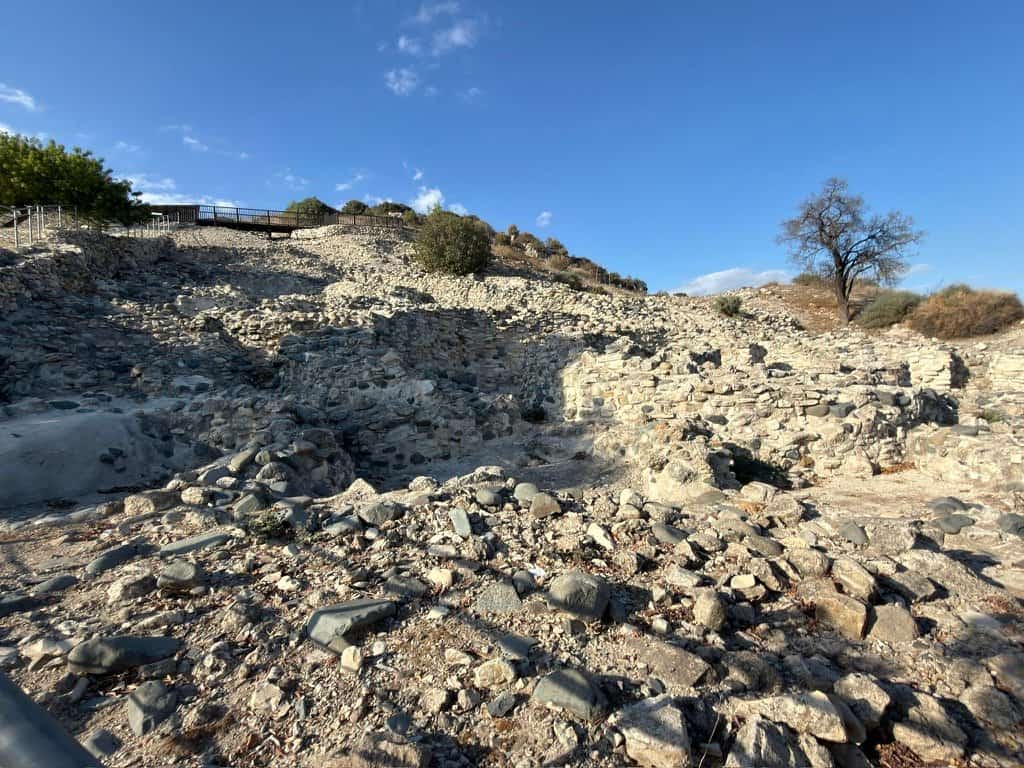
The Kamares Aqueduct stands as one of Cyprus's most striking remnants of Ottoman engineering, stretching across the landscape south of Larnaca with its distinctive arched stone structure still largely intact after centuries of use. Built during the Ottoman occupation of the island, this engineering feat carried fresh water across the flat terrain to supply the port city and surrounding agricultural areas. Today it remains a tangible link to the island's Ottoman past, visible from the main road and accessible to visitors who want to understand how water management shaped colonial-era Cyprus.
Why this place matters
The aqueduct represents more than just historical stonework. It demonstrates the practical sophistication of Ottoman infrastructure during a period when Cyprus was a crucial trading hub in the eastern Mediterranean. The structure had to be robust enough to survive earthquakes, weather, and the corrosive effects of seawater in the local environment. Its survival is itself remarkable given the scale of destruction that affected many Ottoman buildings on the island after independence.
For travelers interested in how civilizations solve basic problems like water distribution, the Kamares Aqueduct offers a concrete lesson. You can stand beneath the arches and understand the engineering choices made centuries ago, without needing specialist knowledge to appreciate the craftsmanship.
Quick facts
- Built during the Ottoman period, likely in the 16th century
- Located approximately 8 kilometers south of Larnaca town center
- Constructed from local stone with a series of arches supporting the water channel
- Open-air site with no admission fee
- Best visited during daylight hours for safety and photography
- Partially restored in recent decades to prevent further deterioration
Getting there
The aqueduct sits just off the main road connecting Larnaca to the southern coast. If you're driving from Larnaca town center, head south toward Kiti and follow signs toward the Kamares area. The journey takes roughly 15 to 20 minutes depending on traffic. There's informal parking near the structure itself, though space is limited during peak hours.
Public transport to the site is limited, so a rental car or taxi is your most reliable option. If you're staying in Larnaca and want to combine this visit with other attractions, the aqueduct fits naturally into a route that includes the nearby Kiti region or the salt lakes to the east.
The layout and experience
The aqueduct stretches horizontally across flat agricultural land, and you approach it from the roadside. The structure is not enclosed or gated, so you can walk directly to it and move around the site freely. The arches create a series of stone passageways beneath, and you can walk under them to get a sense of the engineering scale.
The site feels most dramatic when you view it from a distance first, seeing how the arches recede into the landscape. Up close, you notice the weathering of individual stones, patches of lichen growth, and the occasional repair work that keeps the structure stable. The flat surroundings mean there's little shade, so sun exposure can be intense, especially in summer months.
Most visits last between 20 and 45 minutes, depending on how thoroughly you explore and whether you take photographs from multiple angles.
Main highlights
The primary highlight is the aqueduct structure itself. The series of arches supporting the water channel above is the defining feature, and each arch reveals the builders' understanding of load distribution and stone placement. The view from underneath the arches gives you a perspective that photographs can't fully capture.
The surrounding landscape also matters. The flat terrain around the aqueduct illustrates why the structure had to be built this way: there were no natural elevation changes to allow water to flow downhill through a simple channel. The aqueduct had to bridge across open ground, making it an elevated infrastructure project rather than a buried or partially buried one.
For those interested in Ottoman architecture, the stonework itself is worth close inspection. The precision of the cuts and the consistency of the masonry reflect the standards of skilled craftspeople working under Ottoman administration.
History and background
Water supply was a chronic challenge for Larnaca during the Ottoman occupation. The city's position as a port made it economically valuable, but fresh water sources were distant. The aqueduct was constructed to solve this problem by channeling water from inland sources across the intervening flatland to the city and its surrounding agricultural areas.
The exact date of construction remains somewhat uncertain, but evidence points to the 16th century during the height of Ottoman control over Cyprus. The island had fallen under Ottoman rule in 1571, and infrastructure projects like this aqueduct reflected the administrative and military importance of maintaining the port city's functionality.
The aqueduct continued in use for centuries, and its maintenance became a responsibility passed between Ottoman administrators, Venetian predecessors, and eventually Cypriot authorities after independence. Some sections have been reinforced or rebuilt over time, but the fundamental structure and its original routing remain recognizable.
Best time to visit
Visit during the cooler months if possible. October through April offers more comfortable conditions for standing in open sunlight and exploring the site. The light during late afternoon can be particularly warm and golden, making for better photographs, though you'll want to position yourself carefully to avoid harsh shadows across the arches.
Avoid the peak summer months if you're sensitive to heat. The site offers no shelter, and temperatures regularly exceed 30 degrees Celsius from June through September. Early morning visits in summer are preferable if you must go during that season.
The site is accessible year-round, but rainfall can occasionally make the ground muddy near the base of the structure, so check local conditions if visiting immediately after heavy rain.
Photography tips
The arches create natural frames for photographs. Position yourself beneath the structure to capture the repetition of the arches receding into the distance. This perspective emphasizes the engineering and gives a sense of scale that wider shots cannot.
Shoot during late afternoon or early morning to avoid the harsh overhead sun that creates unflattering shadows around midday. The warm light of golden hour also brings out the texture and color variation in the stone.
Wide-angle lenses work well for capturing the full extent of the aqueduct against the flat landscape, while closer shots of individual stone blocks and arch details reveal the craftsmanship. The surrounding agricultural fields can provide interesting context if you include them in the frame.
Facilities and preparation
The site itself has minimal facilities. There are no restrooms, no food vendors, and no information plaques explaining the history in detail. Bring water with you, especially in warm months, as you'll be exposed to sun for the duration of your visit.
Wear comfortable walking shoes with good grip, as the ground can be uneven and the stone beneath the arches can be slippery if damp. A hat or sunscreen is essential unless you visit during cooler months.
If you want detailed historical context, consider researching the aqueduct before your visit or consulting a guidebook about Ottoman Cyprus. The site itself is straightforward to explore, but understanding the context enriches the experience.
How it compares to similar places
Cyprus has other Ottoman-era structures, but few are as visually distinctive as the Kamares Aqueduct. Unlike fortified buildings or mosques that survive in towns, this aqueduct is a feat of infrastructure that spans a landscape. It's comparable to Roman aqueducts found elsewhere in the Mediterranean, but the Ottoman engineering reflects different construction methods and materials suited to local conditions.
If you've seen other Ottoman sites on Cyprus, the aqueduct offers a different angle on that historical period. Rather than viewing interior spaces or architectural decoration, you're engaging with the practical systems that made urban life possible during the occupation.
Combining with nearby attractions
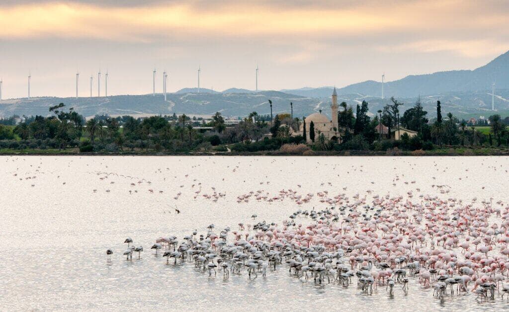
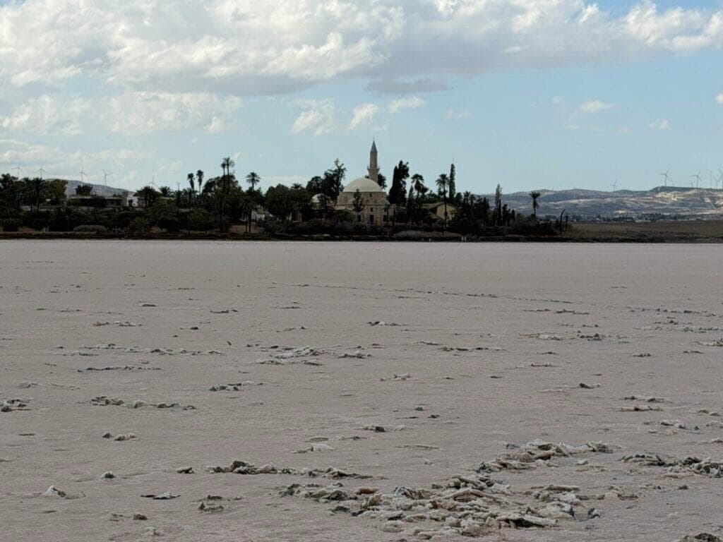
The Kiti area nearby includes the Church of Angeloktisti, a Byzantine structure with notable mosaics, roughly 5 kilometers from the aqueduct. The salt lakes east of Larnaca are another nearby draw, particularly for birdwatchers. You could structure a half-day excursion that includes the aqueduct, a visit to Kiti, and a stop at the salt lakes.
The Hala Sultan Tekke, a mosque and pilgrimage site near the salt lakes, is also within a reasonable driving distance. This combination of sites allows you to explore different periods of Cyprus's history in a single outing.
Sample visit plan
A simple approach: drive south from Larnaca toward Kiti, stop at the Kamares Aqueduct for 30 to 40 minutes to explore and photograph, then continue to the Church of Angeloktisti in Kiti for another 45 minutes. If time permits, detour to the nearby salt lakes before returning to Larnaca. This gives you a coherent route through the region south of the city without backtracking.
Practical tips
- Bring a full water bottle. No vendors or facilities exist at the site
- Visit in early morning or late afternoon to avoid peak sun exposure
- Wear sturdy shoes with good traction, especially if the ground is wet
- The site has no formal entrance or ticketing, so you're free to explore at your own pace
- Combine the aqueduct with Kiti or the salt lakes to maximize your time in the region
- Allow at least 30 minutes if you want to walk the full length and explore beneath the arches
- Bring a camera or smartphone for photographs; the structure is visually compelling from multiple angles
- Check that the access road is clear before visiting, as occasional maintenance work can affect parking
FAQ
Is there an entrance fee to visit the Kamares Aqueduct? No, the site is open to the public at no cost. There is no ticket booth or formal entrance.
How long should I spend at the aqueduct? Most visitors spend 20 to 45 minutes exploring the structure and taking photographs. The actual amount depends on your interest level and how many angles you want to photograph.
Can you walk on top of the aqueduct? The structure is not designed for visitors to walk along the top. You can explore underneath the arches and around the base of the structure, but do not climb on the stonework itself, as it could be unsafe and risks damaging the historic fabric.
Is the site accessible by public transport? Public transport connections to the aqueduct are limited. A rental car or taxi is the most practical option from Larnaca.
What's the best season to visit? October through April offers the most comfortable conditions. Avoid midday visits during summer months due to intense heat and harsh sunlight.
Opening hours
Reviews
Sign in and mark this place visited to leave a review.
No reviews yet.
Free Trip Planner
Plan your Larnaka trip with our free planner
Build a day-by-day itinerary with AI suggestions, hand-picked places, and friends. Free forever — no credit card.