The San Antonio River Walk
San Antonio, TX 78205, USAThe San Antonio River Walk, known locally and officially as the Paseo del Río, is a public walkway that runs a full story below downtown San Antonio, following a looping, cypress-shaded channel of the San Antonio River. It is less a single attraction than a spine that connects much of the city: restaurants, hotel lobbies, museums, and quiet residential stretches all open onto it at water level, while the street grid continues, oblivious, one floor up. For most visitors the downtown loop is the River Walk. For locals it is really three distinct stretches, and the two outside the loop are where the place gets interesting.
Why the San Antonio River Walk matters
The River Walk exists because of a flood. In September 1921 the San Antonio River overran its banks and tore through downtown, and city officials afterward debated simply paving the river into a concrete storm drain, the standard flood-control solution of the era. A young architect named Robert Hugman had a different idea. In the late 1920s he drew up a plan to tame the river with a dam and bypass channel while turning the riverbed itself into a landscaped, pedestrian-level park lined with stone walkways, arched footbridges, and bald cypress trees. His vision survived the political fights of the following decade and, with Works Progress Administration labor and funding, much of it was built out by the early 1940s. That decision, to treat a flood channel as public space rather than infrastructure to be hidden, is the reason downtown San Antonio has a tourist economy built around water instead of a drainage culvert.
Quick facts
- Official name: Paseo del Río, commonly called the River Walk
- Location: downtown San Antonio, one level below street grade, Texas 78205
- Designer: Robert Hugman, with construction carried out largely through Depression-era WPA labor
- Three main sections: the downtown loop, the Museum Reach heading north, and the Mission Reach heading south
- Museum Reach connects downtown to the Pearl district and passes Donald Lipski's F.I.S.H. sculpture installation under Interstate 35
- Mission Reach extends roughly eight miles south along restored riverbank to the San Antonio Missions
The layout and experience
Stairs and ramps drop you from street level down to the walkway at various points around downtown, so the River Walk reads almost like a basement level for the city, except it is outdoors, shaded by cypress canopy, and lined with stone. The channel itself is narrow, maybe the width of a two-lane road in places, and barges operated as river taxis and dinner cruises putter along it past restaurant patios that spill right down to the water's edge. Footbridges arch overhead every block or so. The light down there has a filtered, green quality even at midday, which is part of why the place photographs so well and also why it stays noticeably cooler than the streets above during San Antonio's long summer.
The downtown loop, roughly the stretch between the Arneson River Theatre and the Rivercenter mall area, is the busy, commercial heart of it, dense with chain restaurants, bar patios, and tour boat docks. It is worth walking once for orientation, but it is also the part every guidebook already covers in detail, and it can feel more like a themed retail district than a piece of the city. Head away from the loop in either direction and the character changes fast.
Main highlights
North of downtown, the Museum Reach is the newer extension, opened in the late 2000s, and it threads past the San Antonio Museum of Art before running under Interstate 35. That underpass is home to F.I.S.H., an installation of oversized, brightly colored fish and a canoe sculpture by artist Donald Lipski, suspended overhead and lit at night, turning what would otherwise be a dim highway underpass into one of the more photographed spots on the whole walk. The Museum Reach continues on to the Pearl, the former Pearl Brewery complex that has been redeveloped into a dense little neighborhood of restaurants, a farmers market, a hotel, and a satellite campus of the Culinary Institute of America. Walking the Museum Reach end to end, from downtown to the Pearl, takes most people somewhere between 30 and 45 minutes at an easy pace.
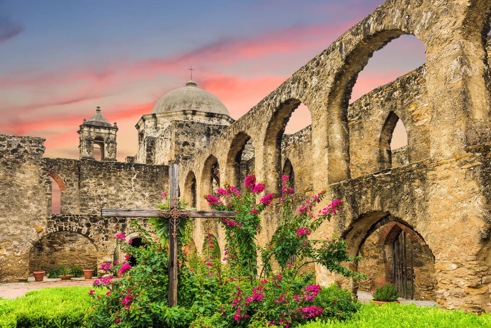
South of downtown, the Mission Reach is the quieter, wilder half. Restored over the past couple of decades to something closer to the river's natural channel, it runs roughly eight miles down to the San Antonio Missions, four 18th-century Spanish colonial mission complexes, including Mission San José and Mission Concepción, that together with the Alamo make up the San Antonio Missions World Heritage Site. The banks here are planted with native grasses rather than manicured landscaping, the crowds thin out within the first mile, and you are far more likely to see herons and turtles than tour groups. It is a legitimate hike or bike ride rather than a stroll, and it is arguably the best stretch of the entire River Walk precisely because almost nobody treats it as an attraction.
History and background
It is worth sitting with how close the River Walk came to not existing. After the 1921 flood, the engineering consensus of the day favored burying the problem: channel the river into concrete, cover it, reclaim the land for streets and parking. Hugman's alternative, first pitched around 1929, asked the city to trust that a flood-prone creek could be made into an asset instead of a liability, as long as a separate flood-control bypass took the dangerous water elsewhere. The plan stalled through the Depression's early years before WPA funding and labor made it possible to actually build, and the core downtown stretch opened in stages through the late 1930s and into the 1940s. The arched bridges, the stone stairways, the cypress plantings, much of what still defines the walk's look today dates to that construction push. The Museum Reach and Mission Reach extensions came decades later, part of a broader flood-control and river restoration program that stretched the walkable river from a single downtown loop into a continuous corridor running well over a dozen miles through the city.
Best time to visit
Early morning is the best window for the downtown loop, before the tour groups and lunch crowds arrive, when the water is still and the barges haven't started their engines. Evenings bring string lights and a livelier bar scene but also the heaviest foot traffic. For the Mission Reach, aim for morning or late afternoon, especially outside summer, since there is far less shade cover than downtown and the exposed stretches can get genuinely hot by midday from May through September. The Museum Reach works well any time of day, though the F.I.S.H. installation under I-35 is at its best after dark when the sculptures are lit.
Combining with nearby attractions
The River Walk is less a single stop than a connector between stops. The downtown loop puts you within a few minutes' walk of the Alamo, La Villita, and the Tower of the Americas at Hemisfair. Follow the Museum Reach north and you land at the Pearl, with the Culinary Institute of America and a Saturday farmers market, and the San Antonio Museum of Art sits roughly midway along that stretch. Follow the Mission Reach south and the destination is the mission chain itself, a half-day or full-day excursion depending on how many of the four you want to see. Renting a bike for the Mission Reach, or picking up and dropping off at different points, is a practical way to cover that distance without retracing your steps on foot.
Practical tips
- Walk the downtown loop once for orientation, then spend your real time on the Museum Reach or Mission Reach, where the crowds thin and the river feels more like a river
- The Mission Reach has little shade, so carry water and sun protection if you're walking or biking it in warmer months
- Stairs down to the walkway are frequent downtown, but if you need step-free access, look for the ramped entrances near the major hotels and the Rivercenter mall
- Barge tours are a reasonable way to get your bearings on the downtown loop, but they don't run on the Museum or Mission Reach, where walking or biking is the only way through
- Bike rental and bike-share stations are the easiest way to cover the Mission Reach's distance in a single outing
FAQ
Is the River Walk one continuous path?
Yes, in the sense that the downtown loop, Museum Reach, and Mission Reach connect into a single walkable corridor, though most visitors experience them as separate outings given the distances involved.
How far is the Mission Reach?
It runs roughly eight miles from downtown south to the missions, a distance realistically covered by bike or over a few hours on foot rather than a quick stroll.
What is the F.I.S.H. installation?
It's a public art piece by Donald Lipski on the Museum Reach, a cluster of large, brightly painted fish sculptures suspended under the Interstate 35 overpass, lit at night and one of the more distinctive photo stops north of downtown.
Is the downtown loop worth skipping?
Not entirely. It's the historic core of Hugman's original design and useful for orientation, but it is also the most commercial, tourist-heavy stretch, and the Museum Reach and Mission Reach generally offer a quieter, more rewarding walk.
However you divide your time between them, the three stretches of the San Antonio River Walk add up to one of the more unusual pieces of American urban planning, a flood channel that a city chose to live with instead of hiding.
Reviews
Sign in and mark this place visited to leave a review.
No reviews yet.
Free Trip Planner
Plan your United States trip with our free planner
Build a day-by-day itinerary with AI suggestions, hand-picked places, and friends. Free forever — no credit card.
Related reading

Things to see near The San Antonio River Walk

Mission Espada

Mission San Juan

Espada Aqueduct

San Antonio Missions National Historical Park
Places to eat or drink near The San Antonio River Walk

Freetail Brewing Co.

Beethoven Maennerchor

Little Em's Oyster Bar