Bow Valley Parkway
Bow Valley Pkwy, Improvement District No. 9, AB T0L, CanadaThe Bow Valley Parkway is one of those roads that makes you reconsider what a drive can be. Running roughly 51 kilometres between Banff townsite and the Lake Louise area, it tracks the Bow River through a stretch of Banff National Park thick with limestone cliffs, dense spruce and pine forest, and some of the most reliable wildlife viewing in the Canadian Rockies. Officially it's Highway 1A, a secondary road that parallels the Trans-Canada Highway without ever feeling like a backup option. If you have the time, it's the better choice, full stop.
Most people driving between Calgary, Banff, and Lake Louise default to the Trans-Canada because it's quicker and the speed limit is higher. That instinct makes sense if you're trying to cover ground. But the parkway isn't built for covering ground. It's built for slowing down, and it rewards exactly the kind of unhurried driving that the Trans-Canada discourages.
Why the Bow Valley Parkway Matters
Banff became Canada's first national park in 1885, and the Bow Valley corridor had been a travel route through these mountains long before that designation existed. The parkway itself dates to the 1920s, when it was constructed specifically as a leisure road, a place for early motor tourists to experience the valley at a pace suited to looking around rather than getting somewhere. That founding purpose hasn't really changed in a century. The road is narrower than the Trans-Canada, the curves are gentler on purpose, and the whole experience is oriented around noticing things rather than passing them.
The lower speed limit enforced along much of the route isn't bureaucratic caution. This valley is one of the busiest wildlife corridors in the park. Wolves, elk, black bears, grizzly bears, mule deer, and coyotes move through the Bow Valley regularly, and the parkway cuts right through their territory. It's genuinely common to come around a bend and find half a dozen cars stopped on the shoulder, engines off, everyone watching a black bear work through a patch of roadside buffaloberry. Locals call these wildlife jams, and they're treated as a normal part of the drive rather than an event.
Quick Facts
- Total length: approximately 51 kilometres between Banff townsite and the Lake Louise area
- Road designation: Highway 1A
- Speed limit reduced along wildlife corridor sections, particularly from November through late June
- A valid Parks Canada pass is required to travel through Banff National Park
- Open year-round, though winter driving requires appropriate tires and sections can close temporarily in poor conditions
- No fuel stations along the parkway itself, so fill up in Banff or Lake Louise beforehand
- Dogs are permitted but must stay on leash at all times
Getting There
The eastern entrance sits just west of Banff townsite, where Highway 1A splits off from the Trans-Canada. From Banff Avenue, follow signage toward Lake Louise and watch for the 1A turnoff, which comes up quickly once you're out of town. The western end rejoins the Trans-Canada near the Lake Louise interchange, so the road functions as a loop option as much as a point-to-point drive.
You can run it in either direction. Most visitors go west to east, from Banff toward Lake Louise, because that orientation puts the bigger mountain views on the driver's side. It's a preference, not a rule, and if you're staying in Lake Louise there's no real downside to starting from the western end instead.
There's no public transit covering the full length of the parkway, so you'll need a car, rented or otherwise. Cyclists do ride it, and parts of the route are genuinely pleasant on two wheels, but at 51 kilometres with occasional vehicle traffic, it's a serious undertaking rather than a casual pedal.
The Layout and Experience
Budget at least two to three hours if you want to stop at the main points along the way. A half day is a more honest estimate if you're the type who pulls over for every good view, which this road practically demands. The pavement itself is in good shape and nothing about the driving is technically difficult. The challenge is staying focused, because something is almost always competing for your attention.
Johnston Canyon is the busiest stop on the parkway, sitting around 26 kilometres from Banff townsite. A catwalk bolted into the canyon walls leads visitors past a series of waterfalls, and in summer the trail gets heavy foot traffic. Arriving before 8am changes the experience completely, trading crowds for something closer to quiet.
Castle Mountain is unmissable long before you reach it. The flat-topped limestone massif dominates the skyline for a long stretch of road and works as a natural landmark to orient yourself by. There's a modest viewpoint and picnic area near the mountain that sees far less use than it deserves.
Morant's Curve, where the Bow River bends beneath a sweep of Canadian Pacific Railway track with the mountains behind it, is one of the most photographed spots in the entire park. The pullout is small and fills quickly, so timing your visit outside midday helps both with parking and with light.
Main Highlights Along the Route
Johnston Canyon
The lower falls sit about 1.1 kilometres from the trailhead, with the upper falls another 1.5 kilometres beyond. In winter the canyon freezes into columns of ice and draws an entirely different crowd, people in microspikes walking the catwalk to see the frozen formations up close. The trail is open year-round in principle, though Parks Canada can close it temporarily for extreme weather or wildlife activity.
Silverton Falls and Hillsdale Meadows
These see a fraction of Johnston Canyon's visitors but offer a real payoff for the effort. Hillsdale Meadows in particular is good elk habitat, and scanning the open ground at dawn or dusk often turns something up.
Castle Mountain Viewpoint
This pullout gives you the textbook view of the peak the mountain is named for. The sedimentary rock layers stack almost perfectly horizontally, the kind of formation that looks staged until you remember it's just geology doing its thing over a very long time.
Baker Creek Area
A cluster of trailheads and a small lodge sit along this stretch. Baker Creek Trail works well if you want to stretch your legs without committing to a long hike or fighting crowds for a parking spot.
History and Background
The parkway's character traces back to its original purpose. When it was built in the 1920s, automobile tourism in the Rockies was still new, and the road was conceived as a scenic drive rather than a transportation link. That's a meaningful distinction. The Trans-Canada Highway, built decades later and upgraded repeatedly since, exists to move traffic efficiently through the mountains. The Bow Valley Parkway was never meant to compete with that function, which is exactly why it still feels like a different kind of road today, narrower, slower, and more attentive to what's actually around it.
Morant's Curve carries its own small piece of railway history. The name comes from Nicholas Morant, a photographer who worked for Canadian Pacific Railway for decades and photographed trains rounding this exact bend countless times, cementing it as one of the defining images of the CPR's mountain route. The combination of river, track, and peaks that makes the spot so photogenic today is largely the same composition Morant was working with generations ago.
Best Time to Visit
Late spring through early fall, roughly May to October, offers the most reliable road conditions and full access to every stop. Summer, especially July and August, is also when the parkway is busiest, and Johnston Canyon in particular gets crowded fast. Getting to any trailhead before 9am during these months is worth the earlier alarm.
Between the eastern gate and Johnston Canyon, a seasonal nighttime wildlife corridor closure typically runs from dusk to dawn, generally from November through late June, to give animals using the valley after dark some room without traffic. Check with Parks Canada or the park gates for current closure windows before planning anything near twilight.
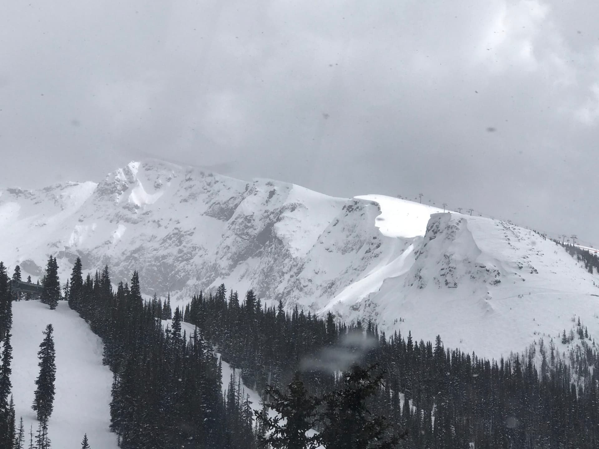
Winter changes the character of the drive almost entirely. Traffic thins out considerably, Johnston Canyon freezes into something worth seeing in its own right, and a clear, cold morning with fresh snow on Castle Mountain produces light that's hard to get anywhere else in the park. Winter tires or chains are non-negotiable, and checking road conditions before setting out is basic good sense.
Photography Tips
Morant's Curve photographs best in the hours around sunrise or sunset rather than midday, when the light catches the river and lights up the peaks behind the track. Some texture in the sky tends to make the shot, since the composition is really about the bend of the river and the sweep of the railway line.
At Johnston Canyon, a tripod earns its keep at the upper falls. The canyon walls block a lot of light, and a longer exposure gives the water that smooth, silky texture that matches the volume coming over the falls.
Wildlife photography here is mostly a matter of waiting. Dawn and dusk are the most productive windows for spotting bears and elk from the roadside. Keep a telephoto lens on hand, stay well back, and don't approach. Parks Canada's minimum distance guidelines for wildlife exist because people get hurt, and animals get habituated, when they're ignored.
Combining with Nearby Attractions
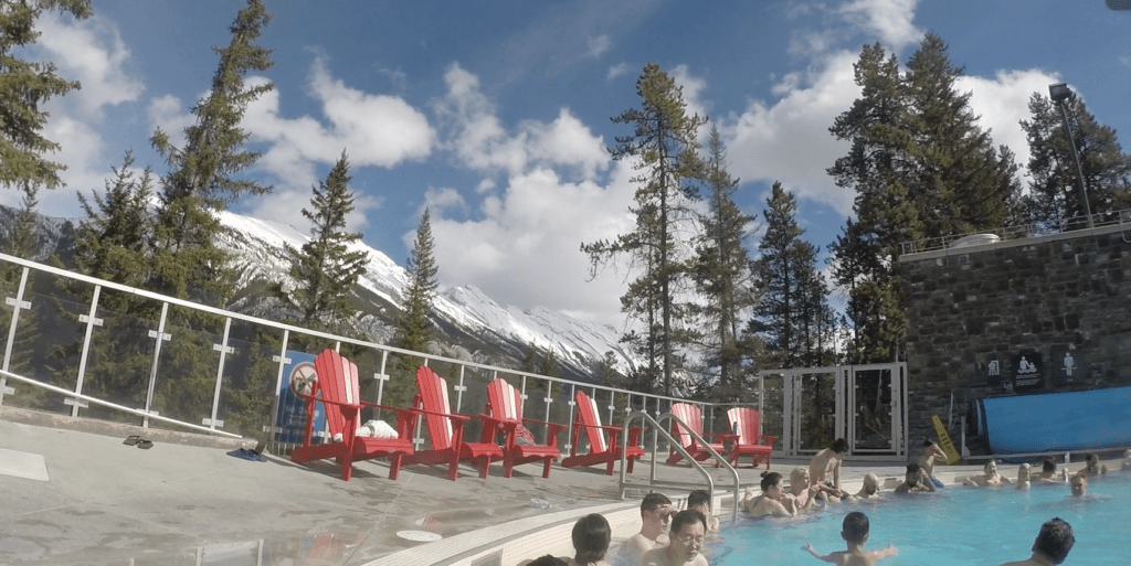
The parkway slots naturally into a broader loop through Banff National Park. From the western end, you're close to Lake Louise itself and to the turnoff for the Icefields Parkway, which continues north toward Jasper and is arguably Canada's other great scenic drive. From the eastern end, Banff townsite, with its hot springs, gondola, and restaurants, is only minutes away.
If you have more than a day to spend in the area, drive the parkway one direction and take the Trans-Canada back. The contrast between the two roads, one built for speed and one built for looking around, says a lot about how this valley has been used over the past century.
Practical Tips
- A Parks Canada Discovery Pass covers entry to Banff National Park and is worth buying if you're spending more than a couple of days in the area
- Pullouts fill fast at popular spots in summer; if a parking area is full, keep driving and loop back rather than blocking traffic
- Cell coverage is patchy along the parkway, so download offline maps before leaving Banff or Lake Louise
- Bears are active along this corridor; carry bear spray and know how to use it if you plan to hike
- The Johnston Canyon lot overflows by mid-morning on summer weekends; the Parks Canada shuttle from Banff is a useful alternative when it's running
- Picnic areas at Castle Junction and Baker Creek make good lunch stops; bring food, since there are no services on the parkway itself
- Respect the posted speed limits in wildlife corridor sections; they're enforced and they exist because animals are genuinely crossing
FAQ
Do I need a national park pass to drive the Bow Valley Parkway?
Yes. The road runs entirely within Banff National Park, and a valid Parks Canada pass is required. You can buy one at the park gates, at the Banff visitor centre, or online ahead of time.
How long does it take to drive the full parkway?
Without stopping, under an hour. With stops at Johnston Canyon, the Castle Mountain viewpoint, and a wildlife pullout or two, plan on two to three hours at minimum, and consider a half day if you want to linger.
Is the Bow Valley Parkway open in winter?
Generally yes, though the nighttime wildlife corridor closure affects access during certain months. Check current conditions through Parks Canada before a winter trip and make sure your vehicle is set up for mountain driving.
Can I cycle the Bow Valley Parkway?
Cycling is allowed and some people do ride the full length, but given the distance and occasional vehicle traffic, it works better as part of a multi-day touring trip than as a casual day ride.
Reviews
Sign in and mark this place visited to leave a review.
No reviews yet.
Free Trip Planner
Plan your Banff National Park trip with our free planner
Build a day-by-day itinerary with AI suggestions, hand-picked places, and friends. Free forever — no credit card.