
7 Realities of Travel in Patagonia
By
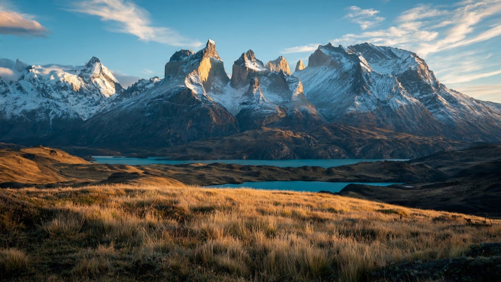
Patagonia spans roughly 400,000 square miles across Chile and Argentina, and that scale alone changes how you need to plan a trip there. A flight from El Calafate to Ushuaia can take longer than a flight from New York to Chicago, and a single road closure due to wind can rearrange an entire itinerary. Before booking anything, it helps to know what actually waits for you on the ground.
Distances Are Deceptive on a Map
Patagonia looks compact when you glance at a map of South America, but the region itself is enormous and sparsely connected. Torres del Paine and Los Glaciares National Park sit only about 150 miles apart as the crow flies, yet getting between them involves a border crossing, several hours of driving, and sometimes an overnight stay. Many travelers underestimate drive times because the roads are straight and the landscape is open, but gravel sections, livestock crossings, and fuel stops add hours that don't show up on a standard map app.
Plan for travel days, not just destination days. A two-week trip that tries to cover El Chaltén, El Calafate, Torres del Paine, and Ushuaia will spend a surprising percentage of that time in transit. Building in buffer days between major stops prevents a missed glacier hike from turning into a missed flight.
The Wind Is a Planning Variable, Not Just Weather
Patagonian wind regularly gusts past 60 miles per hour, especially from November through March, and it affects far more than comfort. Ferries across lakes and channels get canceled when gusts pick up, trekking routes close for safety, and even standing still on an exposed ridge can be genuinely difficult. Locals plan outdoor activities around morning calm, since afternoons tend to bring the strongest gusts.
Pack accordingly: a hard-shell jacket, not just a windbreaker, and trekking poles if hiking on exposed terrain. Camera gear needs a stabilizing strategy too, since tripods without weight bags can blow over on open plains.
Seasons Flip the Calendar You're Used To
Patagonia sits in the Southern Hemisphere, so December through February is peak summer, while June through August brings winter conditions, especially in the south. Most trekking infrastructure, refugios, and bus routes operate on a summer schedule and shut down or scale back dramatically in the off-season. Showing up in July expecting the same trail access as January will lead to disappointment.
Shoulder seasons, specifically October to November and March to April, often give better value and fewer crowds, though some services run limited hours. Check actual operating calendars for specific parks and refugios rather than assuming a generic high season applies everywhere.
Infrastructure Varies Wildly by Region
El Calafate has an international airport, paved streets, and hotels with reliable Wi-Fi. A few hours away, some trailheads have no cell signal, no potable water stations, and no rescue infrastructure beyond what hikers carry themselves. This contrast catches first-time visitors off guard, since the gateway towns feel modern and well-equipped right up until the point where services simply stop.
Travelers who want comfort without sacrificing access to remote landscapes increasingly turn to Patagonia luxury tours, which handle logistics like private transfers, lodge bookings, and permit coordination across both countries. That kind of planning matters here more than in most destinations, since a single missed connection can cascade into lost days.
Border Crossings Add Real Friction
Patagonia straddles Chile and Argentina, and many classic routes require crossing between them, sometimes more than once. Crossings at remote posts like Cerro Castillo or Río Don Guillermo can involve waiting for vehicle inspections, currency exchange limits, and paperwork for rental cars crossing international lines. Argentine pesos and Chilean pesos are not interchangeable, and exchange rates fluctuate enough that carrying both currencies in small amounts makes sense.
Rental car companies often require advance written permission for cross-border travel, and not all insurance policies cover both countries. Confirm this before signing a rental contract, since the fine print varies by agency and region.
Wildlife Sightings Require Patience, Not Guarantees
Guanacos are common enough that spotting them is nearly certain, but pumas, condors, and orcas operate on their own schedules. Specialized puma-tracking trips around Torres del Paine have improved sighting odds significantly over the past decade, with experienced guides reading tracks and behavior patterns. Still, no operator can promise a sighting, and claims otherwise should raise skepticism.
Patience matters more than persistence here. Spending three mornings with a knowledgeable local tracker often produces better results than one rushed afternoon excursion squeezed between bus transfers.
Prices Reflect Remoteness, Not Just Tourism Markup
Groceries, fuel, and lodging in Patagonian towns cost more than in Santiago or Buenos Aires, and that's not simply inflated tourist pricing. Nearly everything, from fresh produce to building materials, travels long distances over difficult terrain to reach these towns. A liter of gas in El Chaltén can cost noticeably more than in a major city, and restaurant menus reflect that same supply chain reality.
Budgeting an extra 20 to 30 percent above comparable costs elsewhere in South America gives a more realistic picture. This isn't a region where travelers find hidden budget deals by venturing off the beaten path; if anything, remoteness drives prices up.
Patagonia rewards travelers who plan around its scale, climate, and logistics rather than fighting against them. The trip that goes smoothly isn't the one with the most ambitious itinerary, but the one built with enough flexibility to absorb a canceled ferry or a windbound trail without unraveling everything else.